
The Case of Cartagena
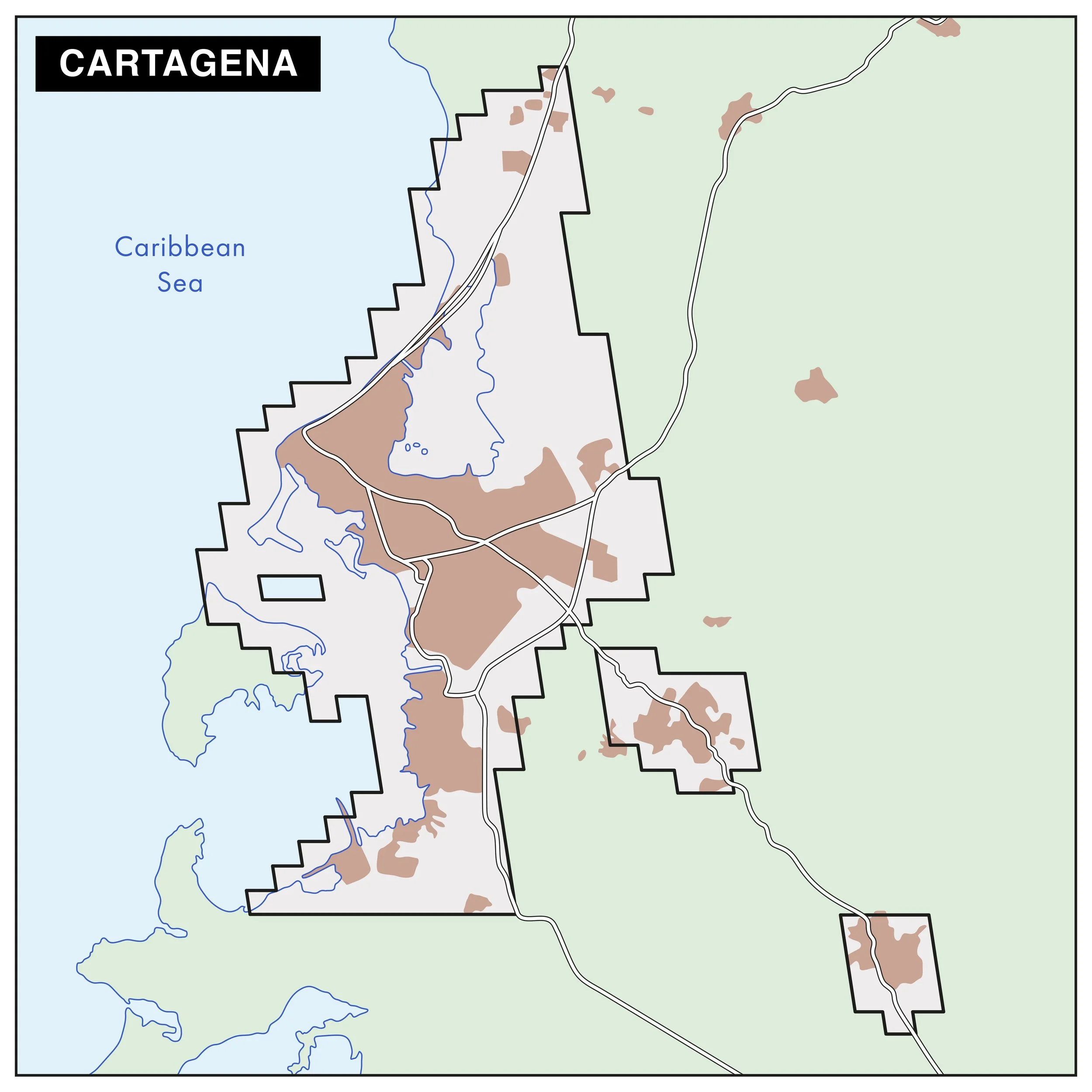
The functional urban area (FUA) of the Case Study in Cartagena
Cartagena de Indias is one of the biggest port cities in the Caribbean region. With a population of more than one million people and an area of 610 km2, it is Colombia’s fifth-largest city. The urban space is intimately connected to its coastal marine environment, with shipping, petrochemicals and tourism its largest economic sectors. Founded as a major port by the Spanish in the early 16th century, the city’s origins and history are deeply tied to colonization, which has shaped its social, political, cultural and environmental context today.
Cartagena’s shallow and protected bay and interconnected channels were key characteristics for its foundation, the Canal del Dique built during the 17th century connected Cartagena with the Andean region via the Magdalena river, facilitating trade and transportation. For more than 300 years, during colonial times and up to early 18th century, Cartagena was a central trans-Atlantic and Caribbean trade post. The city was a major hub for enslaved Africans and a center for the export of gold, silver tobacco and sugar. Today, Cartagena has a rich and vibrant culture that intersects with struggles of poverty and inequitable access to resources.
We support each other, I don’t have she has, we exchange. We all sell together. I give her for her to sell also. It’s not about who sells most. We sell together for the community. There is more than enough demand for all of us.

Three examples of nature-based solutions in Cartagena
Patios Productivos is designed to support individuals and their families in cultivating vegetables and revitalizing local soil plots - many of which had previously served as informal landfills between informal houses. The program’s success gradually transformed it into a source of income for urban gardeners, who began participating in informal street vending economies.
The “Parque Espíritu del Manglar”, situated just outside of the historic walled city centre of Cartagena is currently the biggest green space in the urban area. The area was historically covered in mangrove forests. However, as the city grew and developed, it became one of the first places to be cut down and filled in and used as a trash dump.
Serena del Mar, also known as the “Dreamed City,” is a new neighbourhood currently being built just 12 kilometres from the historical centre of Cartagena. It is located along the city’s northern coastline on 2,400 acres of land, situated within a diverse natural ecosystem that includes 1.5 miles of beaches, lush hillsides overlooking the Caribbean Sea, a network of navigable mangrove lagoons, and tropical dry forests.

Figure 1: Top photo is salad dish of the flowers harvested and served in Celele Restaurant. Photo: Philipp Montenegro
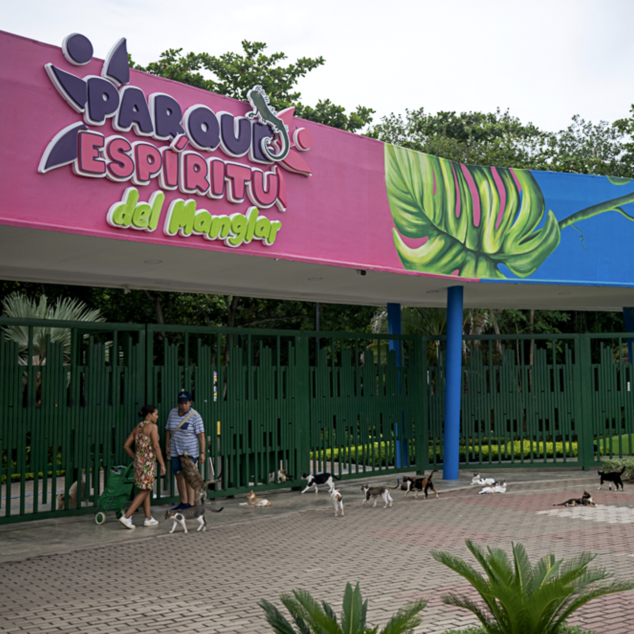
Figure 2: Closed entrance to the Parque Espiritu Manglar with the abandoned cats waiting for their food. Photo: Philipp Montenegro
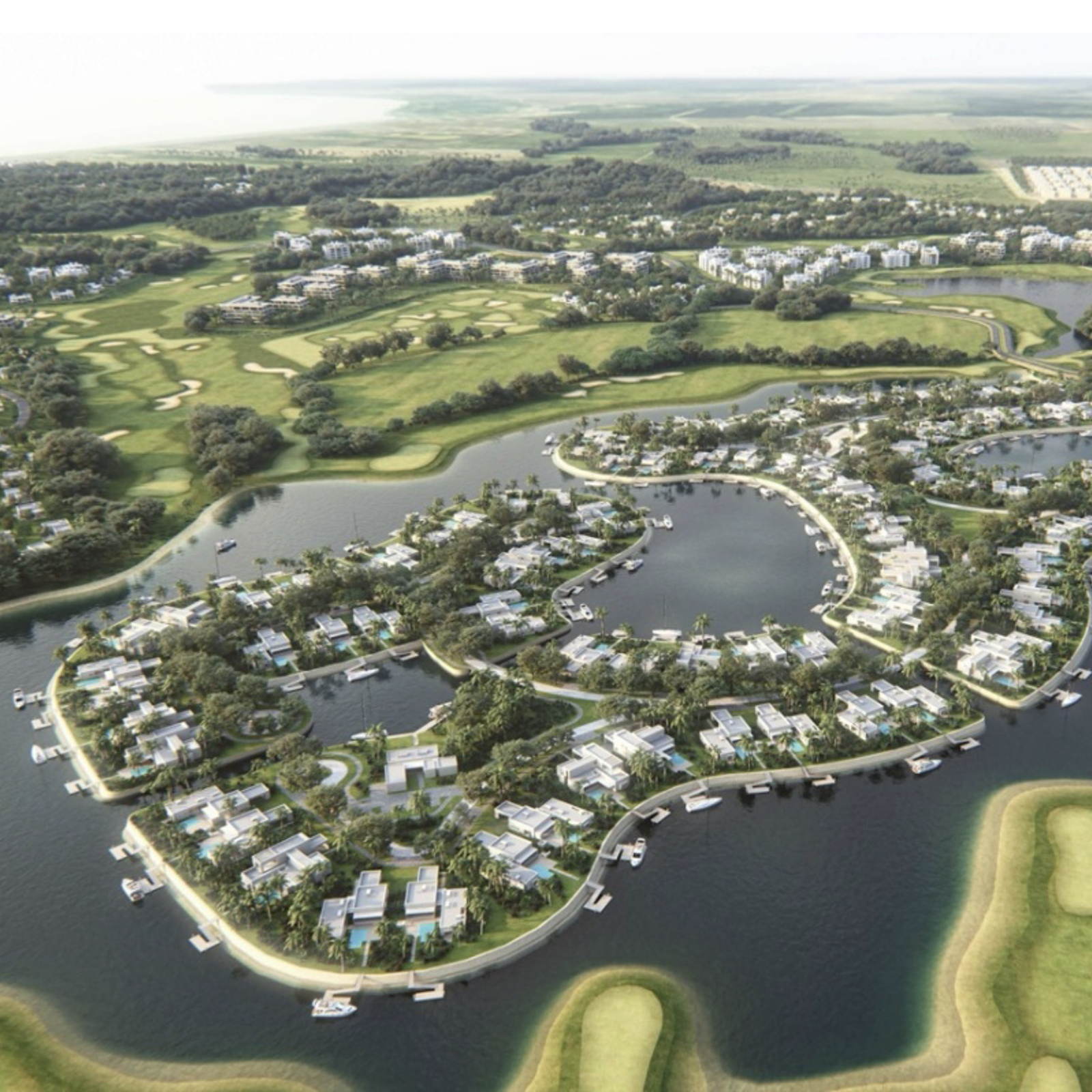
Figure 3: Rendering of Estuario, a part of Serena del Mar from an aerial perspective.